Introduction to Marxan with Zones Training
Marxan with Zones (MwZ) is becoming one of the most widely used conservation and resource use planning tools around the world. Marxan with Zones is an extension of Marxan, and it is a decision support tool that provides land-use zoning options for biodiversity conservation in marine, terrestrial, and freshwater environments. Introduced by Mathew Watts, Ian Ball and Hugh Possingham from the University of Queensland, Australia, Marxan with Zones can address complex spatial planning problems by producing transparent and repeatable results. This tool can facilitate smart decision-making that accounts for a broad range of stakeholders and trade-offs in a spatially and economically efficient manner.
Course description
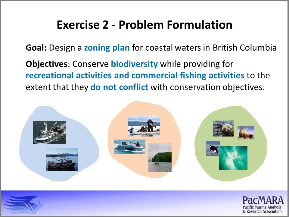
This hands-on three day technical course will provide participants with the basic knowledge and skills necessary to use Marxan with Zones to design a multi-zone marine conservation area. Participants will use ArcGIS or QGIS plug-ins (by Apropos) and Marxan with Zones to set up scenarios during the hands-on exercises. This course will cover technical and non-technical topics including:
- Systematic conservation planning principles
- Spatial Planning in theory and practice
- When is MwZ the right tool? When is it not?
- What questions can MwZ address in the context of systematic conservation planning, spatial planning and integrated coastal zone management?
- How can MwZ help integrate socio-economic and environmental concerns?
- To what extent can MwZ support making difficult decisions regarding trade-offs between stakeholder groups
- Case studies presenting the use of MwZ around the world
- How to generate MwZ input files
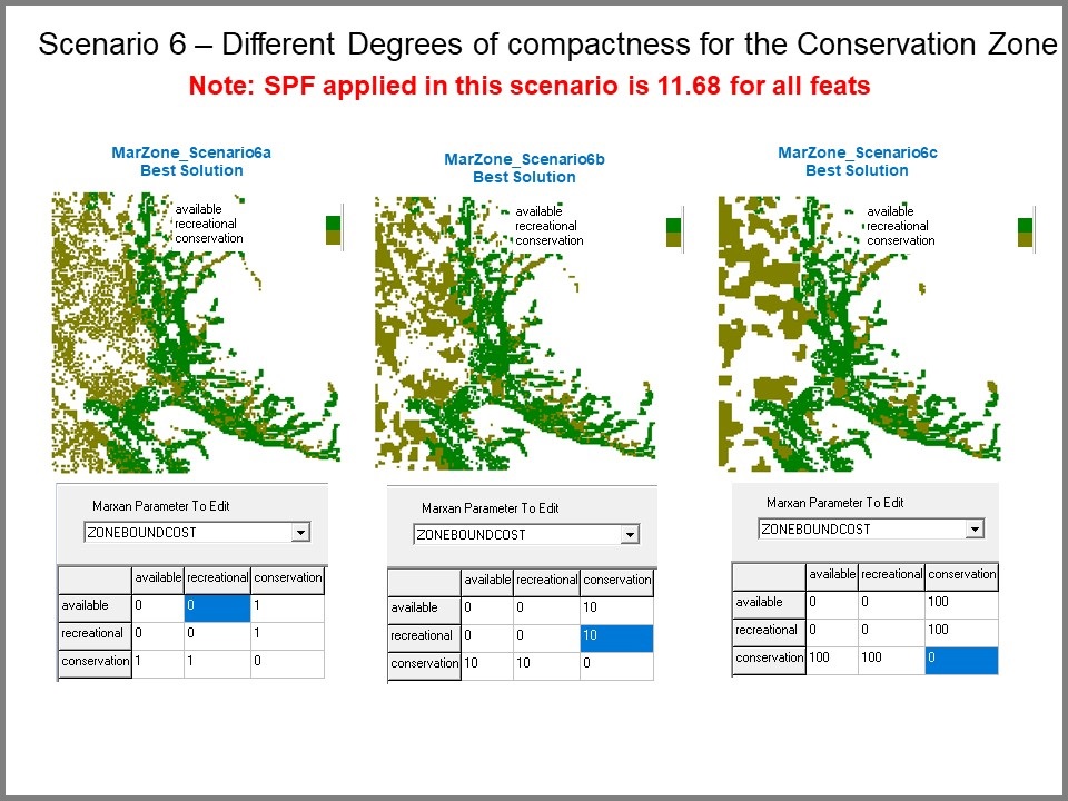
- Setting MwZ parameters and calibration
- Interpreting and presenting MwZ results
- Comparing and evaluating MwZ solutions and scenarios
Typically this course is a 2 day course (a copy of a standard agenda can be accessed here). But we also offer 1 day courses, as well as courses integrating Marxan and MarZone.
Learning objective
To enable trainees to successfully use Marxan with Zones to solve spatial conservation planning problems.
Course pre-requisites
Participants need to have a basic to intermediate knowledge of GIS and GIS software (ArcGIS or QGIS) to be able to complete hands-on exercises. Previous experience with Marxan is not required.
Check for upcoming courses here.
If you are interested in learning more about this workshops or help you organize one in your region, contact:
Norma Serra Sogas,
PacMARA Training Manager
Email: nserra(at)pacmara.org
Phone: +1 250 818 3220

